Printify
Antique Map Africæ Nova Descriptio (1690) by Willem Janszoon Blaeu from the Original, Framed Art Print
Antique Map Africæ Nova Descriptio (1690) by Willem Janszoon Blaeu from the Original, Framed Art Print
受取状況を読み込めませんでした
Original public domain art from the US Library of Congress, digitally enhanced.
This is a beautifully coloured and striking example of the second state of Willem Janszoon Blaeu's expansive map of the continent of Africa, the most iconic map of Africa of the seventeenth century. It tells us a story about how the European understanding of the world changed over time.
By the second half of the seventeenth century, other pioneering Dutch cartographers such as Frederick De Wit and Nicholas Visscher, were publishing new and in some ways superior maps of the continent. While these charts would help set the standard for Dutch mapmakers well into the eighteenth century, their source of inspiration came from this beautiful and innovative chart of Willem Janszoon Blaeu.
The map has a wonderful amount of detail and activity represented on it. The entire land mass is dominated by the place names of the coastline, which at the time of publishing were points of maritime navigation rather than colonial settlements. The majority of these place names pertain to topographical features in the landscape, especially the kind that can be identified from a ship tacking along the shore. Identifying coves, estuaries, and capes not only assisted with navigation, but were also crucial in relation to where best to set in for fresh water and other supplies.
The interior of the continent is nevertheless also densely labelled, identifying cities, peoples, regions, tribal affiliations, mountain ranges, rivers, and lakes. The sheer amount of information is almost overwhelming, especially when considering that this map was compiled mostly during the 1620s.
The place name labels are shown in different sizes and fonts, allowing them to define or stress different categories of information. Natural features in the landscape, such as mountain ranges or lakes, have been meticulously depicted. But the most charming pictorial element is the abundance of Africa fauna: such as caravan drivers with their camels in Numidia, lions and wild goats in Senegal, large crocodiles and frogs along the Niger River, elephants and ostriches in the central part of the continent.
At the time of this map, the Portuguese and Dutch were sailing regularly on the Indian Ocean. This massive body of water, surrounded by a vast array of rich cultures, was accessed by circumnavigating the Cape of Good Hope on the passage to Madagascar and East Africa. The European expedition to pioneer this circumnavigation was of course that of Vasco da Gama in 1498. Having reached India by this route, he opened up the region to European trade and dominance.
Although the Treaty of Tordesillas (1494) had divided up the world between Spain and Portugal, during the sixteenth century, the Dutch demonstrated very clearly that they certainly did not acknowledge the legitimacy of the Treaty. By the seventeenth century it had become a race between the major maritime powers. This history is the real undercurrent of this map, and is among other things seen in the meticulous plotting of the many islands of East Africa. The accuracy with which the mostly small and commercially insignificant islands have been charted reflects just how intensive the exploration of this region was in the century following the great voyage of Vasco da Gama.
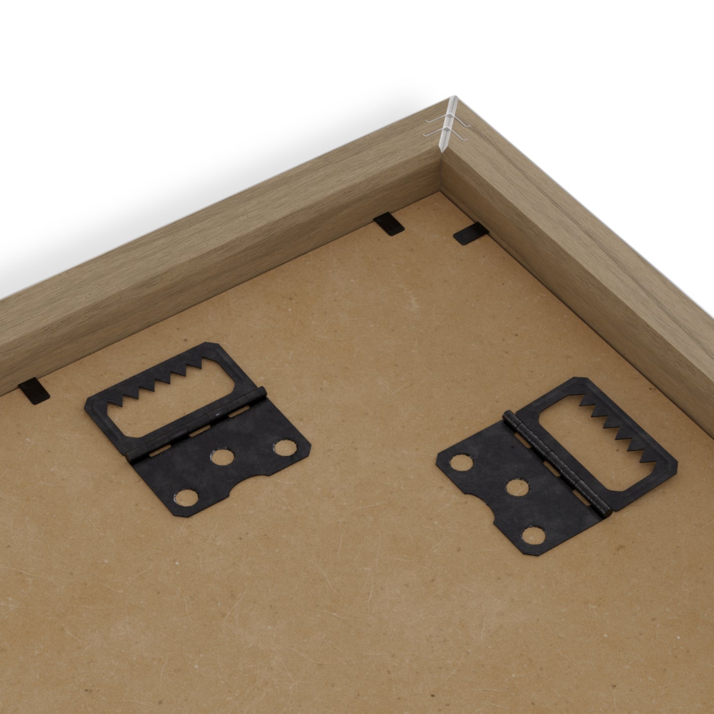
Place great art for your interior decor with this durable wood-framed poster. Frame comes in black or white and is available in seven versatile sizes.
.: Museum-quality custom frames
.: Matte premium paper
.: Plexiglass front
.: For indoor use
.: Multiple sizes


折りたたみ可能なコンテンツ
品質の詳細についてはここをクリックしてください
スマート ホーム: 当社は、Wi-Fi、Z-Wave、Zigbee、Bluetooth Low Energy (BLE)、Thread などのホーム オートメーション テクノロジの最新の動作標準に取り組むことに専念しています。当社では、X10、Insteon、Universal Powerline Bus (UPB) などの古いホーム オートメーション標準またはプロトコルには対応していません。
ウォールアート: 個々の製品情報をご確認ください。当社のコレクションには、美術館品質の紙 170 gsm / 65 ポンドのマット (コーティングされていない) 紙を使用した高品質のサテン キャンバス プリントやフレーム入りポスターが含まれます。すべてに壁掛けキットが含まれており、縦向きまたは横向きに吊るすことができます。英国から印刷および発送されます。
衣類: 当社の T シャツはすべて、100% 高品質のコットンを使用して英国で製造されています。サイドに縫い目がないので、脇の下にかゆみを感じることがありません。ショルダーにはテープを施し耐久性を向上させています。
中程度の生地 (5.3 オンス/平方ヤードまたは 180 g/平方メートル)。剥がせるラベル付き。サイズ表については、個々の製品リストを確認してください。当社のすべてのサイズはヨーロッパおよび米国のサイズ基準に準拠しています。
クリックしてヒントを表示
アート作品を購入するときは、自分の好きなものを見つけてください。気に入ったものを買うだけなら、決断するのは難しくありません。
アート作品を家に飾っていて違和感がある場合は、移動させてください。さまざまな場所に置いてみて、壁にある他の作品と興味深い対話ができるかどうかを確認してください。小さなアート作品は、照明のスイッチの近くに置いたり、ベッドサイド テーブルなどの小さな家具の上に低く吊るしたりするのに適しています。
作業をグループ化すると非常に効果的です。フレームのグループを床またはテーブルの上に並べてテストします。プロの気分なら、マスキングテープを使って独自のぎっしりと詰まったグループをマークしましょう。
サイズが重要であることを理解してください。購入を追跡できます。 Vireous Shop と一緒に探索しましょう!
配送情報についてはここをクリックしてください
ウォールアートと T シャツは英国から 24 時間以内に発送されます。ファッションとアクセサリーは英国、米国、または中国から発送されるため、お届けまでにさらに時間がかかります。


