


Printify
Antique Map Africæ Nova Descriptio (1690) by Willem Janszoon Blaeu from the Original, Framed Art Print
Antique Map Africæ Nova Descriptio (1690) by Willem Janszoon Blaeu from the Original, Framed Art Print
Couldn't load pickup availability
Original public domain art from the US Library of Congress, digitally enhanced.
This is a beautifully coloured and striking example of the second state of Willem Janszoon Blaeu's expansive map of the continent of Africa, the most iconic map of Africa of the seventeenth century. It tells us a story about how the European understanding of the world changed over time.
By the second half of the seventeenth century, other pioneering Dutch cartographers such as Frederick De Wit and Nicholas Visscher, were publishing new and in some ways superior maps of the continent. While these charts would help set the standard for Dutch mapmakers well into the eighteenth century, their source of inspiration came from this beautiful and innovative chart of Willem Janszoon Blaeu.
The map has a wonderful amount of detail and activity represented on it. The entire land mass is dominated by the place names of the coastline, which at the time of publishing were points of maritime navigation rather than colonial settlements. The majority of these place names pertain to topographical features in the landscape, especially the kind that can be identified from a ship tacking along the shore. Identifying coves, estuaries, and capes not only assisted with navigation, but were also crucial in relation to where best to set in for fresh water and other supplies.
The interior of the continent is nevertheless also densely labelled, identifying cities, peoples, regions, tribal affiliations, mountain ranges, rivers, and lakes. The sheer amount of information is almost overwhelming, especially when considering that this map was compiled mostly during the 1620s.
The place name labels are shown in different sizes and fonts, allowing them to define or stress different categories of information. Natural features in the landscape, such as mountain ranges or lakes, have been meticulously depicted. But the most charming pictorial element is the abundance of Africa fauna: such as caravan drivers with their camels in Numidia, lions and wild goats in Senegal, large crocodiles and frogs along the Niger River, elephants and ostriches in the central part of the continent.
At the time of this map, the Portuguese and Dutch were sailing regularly on the Indian Ocean. This massive body of water, surrounded by a vast array of rich cultures, was accessed by circumnavigating the Cape of Good Hope on the passage to Madagascar and East Africa. The European expedition to pioneer this circumnavigation was of course that of Vasco da Gama in 1498. Having reached India by this route, he opened up the region to European trade and dominance.
Although the Treaty of Tordesillas (1494) had divided up the world between Spain and Portugal, during the sixteenth century, the Dutch demonstrated very clearly that they certainly did not acknowledge the legitimacy of the Treaty. By the seventeenth century it had become a race between the major maritime powers. This history is the real undercurrent of this map, and is among other things seen in the meticulous plotting of the many islands of East Africa. The accuracy with which the mostly small and commercially insignificant islands have been charted reflects just how intensive the exploration of this region was in the century following the great voyage of Vasco da Gama.
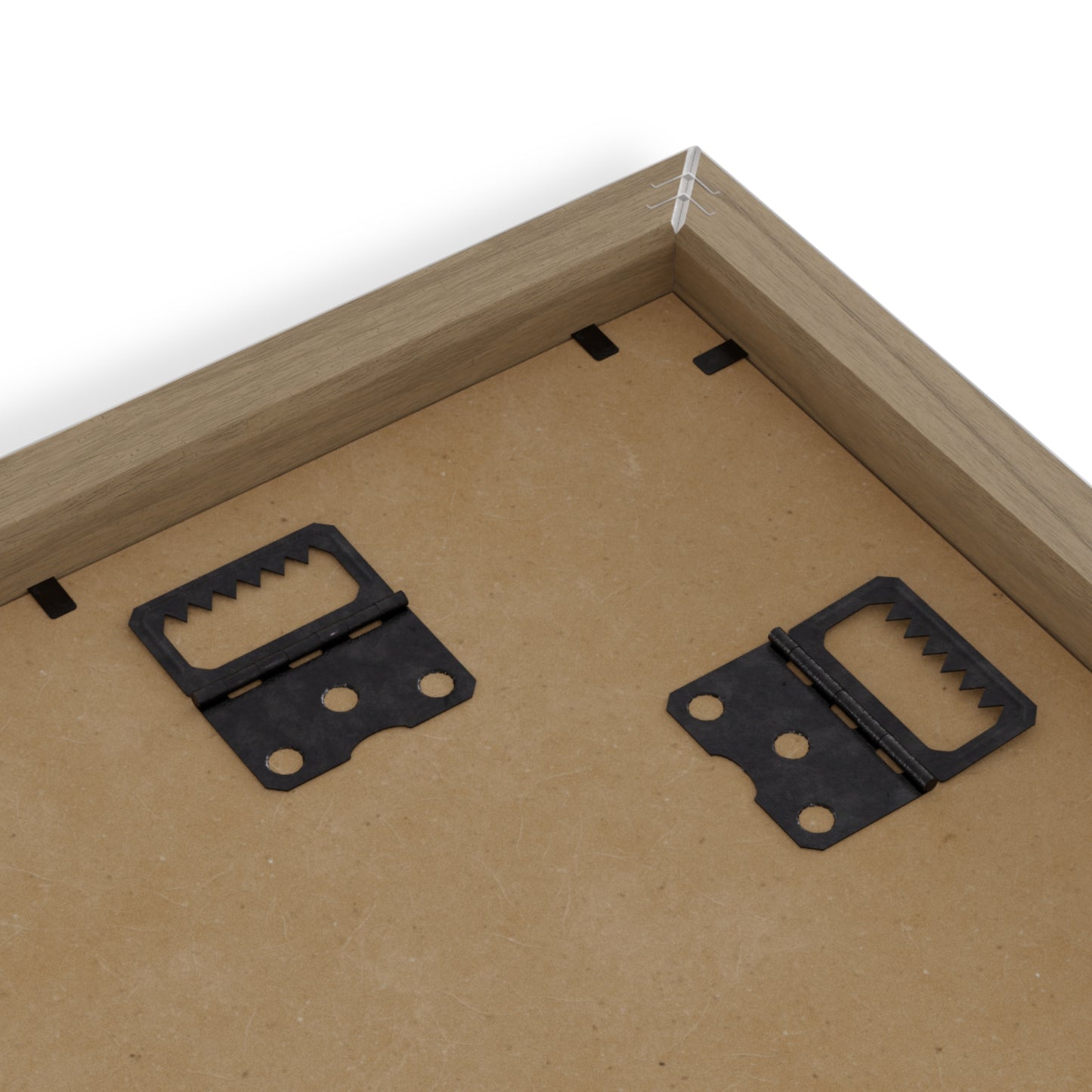
Place great art for your interior decor with this durable wood-framed poster. Frame comes in black or white and is available in seven versatile sizes.
.: Museum-quality custom frames
.: Matte premium paper
.: Plexiglass front
.: For indoor use
.: Multiple sizes


Collapsible content
CLICK FOR QUALITY DETAILS
Wall art: Check for individual product information. Our collections include high-quality satin canvas prints and black wood framed posters using museum-quality paper 170 gsm / 65 lb matte (uncoated) paper. All include a hanging kit, to hang in either portrait or landscape orientation. Printed and shipped from the UK.
Clothing: Unless specified, all our t-shirts are manufacturered in the UK from 100% quality cotton. No side seams mean there are no itchy interruptions under the arms. The shoulders have tape for improved durability.
Shipping: Our artworks and prints and t-shirts ship from the UK. Fashion, clothing and accessories ship from the UK, Turkey, USA or China.
CLICK FOR TIPS
When buying artworks figure out what you like. If you're just buying something you love, it's not difficult to make a decision!
If you hang an artwork at home and it doesn’t feel right, move it. Try putting it in different places, and see if it strikes an interesting dialogue with other works on your wall. Smaller artworks often work well near light switches, or hung low over a small piece of furniture like a bedside table.
Grouping works together can be really effective. Test out a group of frames by arranging them on the floor or a table top. If you’re feeling pro, use masking tape to mark out your very own tightly packed grouping!
When it comes to art, size does matter! You can track your purchase. Explore with Vireous Shop!
CLICK FOR SHIPPING INFORMATION
Artworks and art prints and t-shirts shipped within 24 hours from the UK. Fashion and accessories shipped from the UK, Turkey, USA or China so please time for delivery accordingly.